Background
The U.S. Postal Service delivers almost 154 billion pieces of mail annually using 227,896 postal-owned vehicles. In fiscal year (FY) 2016, postal-owned delivery vehicles traveled over one billion miles nationwide, about 203 million miles more than initially estimated.
A delivery route is a scheduled course of travel to deliver the mail. Management generally establishes the base miles for the delivery routes twice each year; as part of the annual route inspection for city delivery, and during the National Rural Mail Count for rural delivery.
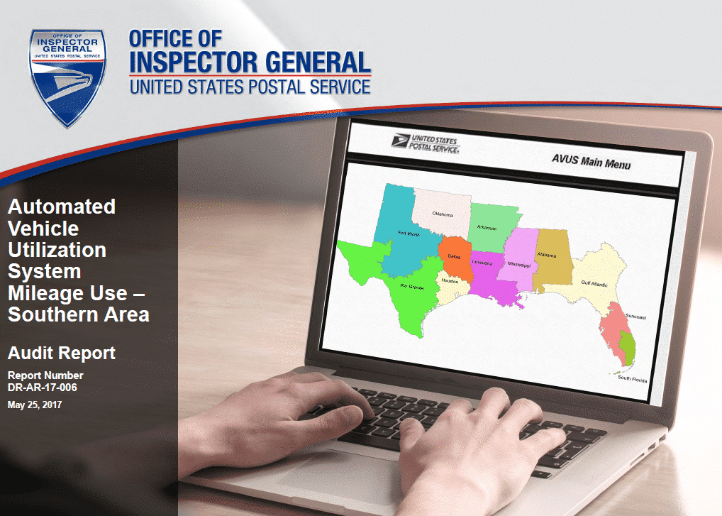
Postal Service supervisors and managers use the Delivery Operations Information System (DOIS), the e-PS Form 4003 Official Rural Route Description web application system (e-PS Form 4003), and the Automated Vehicle Utilization System (AVUS) to help manage carrier operations and mileage on delivery routes.
The DOIS and e-PS Form 4003 are used to record the authorized base miles for carrier routes and the AVUS manages day-to-day vehicle use. Carriers enter vehicle mileage information at the beginning and end of their routes via a Mobile Delivery Devices (MDD) or Intelligent Mail Devices (IMD) scanner. The MDD geo-fence technology component tracks carriers as they travel along their routes from departure until they return from street delivery, whether on foot or in a vehicle. This data is maintained in the Regional Intelligent Mail Server (RIMS), which sends the mileage data to AVUS.
Using the end-of-route mileage data, the AVUS calculates hourly vehicle use, and compares miles driven to authorized base miles for the route. Delivery unit supervisors use this information to ensure carriers are not deviating from the line of travel for their routes. The AVUS information is also of primary importance to Vehicle Maintenance Facility officials. Each month, AVUS downloads vehicle mileage data into the Solution for Enterprise Asset Management (SEAM) system for these officials to schedule vehicle maintenance service for postal-owned vehicles.
The Southern Area has 12 districts and 33,902 delivery routes. In FY 2016, the Southern Area’s route base miles were 158,910,081 and its mileage variance—the difference between the base miles and actual miles — was 47,627,516 miles or 29.9 percent, the highest mileage variance in the country, while the Northeast Area’s mileage variance of 21,697,817 miles was the lowest in the country.
Our objective was to evaluate the accuracy of delivery route mileage data in the Southern Area.
What the OIG Found
The Southern Area’s delivery route mileage data was not always accurate. Delivery route base mileage data for over 6,000 routes or about 27 percent of the Southern Area’s city routes was inconsistent between the AVUS and the DOIS. In addition, over 4,000 or about 77 percent of the rural route’s base mileage data was inconsistent between the AVUS and the e-PS Form 4003. Furthermore, actual daily miles recorded in the AVUS exceeded the AVUS route base miles by almost 80,000 miles with no justification for the mileage deviations.
These conditions occurred because supervisors did not always maintain route base miles in the AVUS, DOIS and the e-PS Form 4003 systems, update mileage data, or monitor and document daily mileage use and deviations. As a result, the area incurred more than $25 million in questioned costs in FY 2016 for the unsupported mileage. Eliminating mileage deviations could further reduce area costs by more than $25 million annually.
In other matters, Postal Service Headquarters management suggested we evaluate the accuracy of delivery route mileage data using the data from the Delivery Management System (DMS) rather than the AVUS actual route mileage data, given the recent advances in geo-fence data from the MDD scanners. We noted that the geo-fence technology in the MDD tracks all carrier movement on the route – both walking and driving – but does not distinguish between the two. The technology could be modified to differentiate carrier movement from vehicle movement to more accurately record actual vehicle mileage data. Alternatively, sensors could be used in the vehicles to track actual mileage and eliminate the need for manual input into AVUS.
What the OIG Recommended
We recommended management review route base mileage and make the necessary corrections in the AVUS, the DOIS, and the e-PS Form 4003 systems. We also recommended management provide training to existing, newly promoted, and temporary supervisors on maintaining route base mileage, monitoring daily mileage and variances, and documenting daily mileage deviations.
In addition, we recommended management explore automated solutions for recording vehicle mileage, which could include modifications to separate carrier and vehicle activity on delivery routes or use of vehicle sensors.
